
Mapping to secure Construction & Civil Engineering
SERVICES

Securing land projects
Accurate mapping of the ground & underground make a risk diagnosis tool and allow ESIDs (Ministry of the Armed Forces), drilling companies, geotechnical engineering firms and ENR operators to adapt their work safety.

Securing offshore projects
Seabed mapping allows operators (Energy or ENR), EPC, Surveyor (cable silling) and Ports managers to secure and to guide a future development project.
OUR CLIENTS


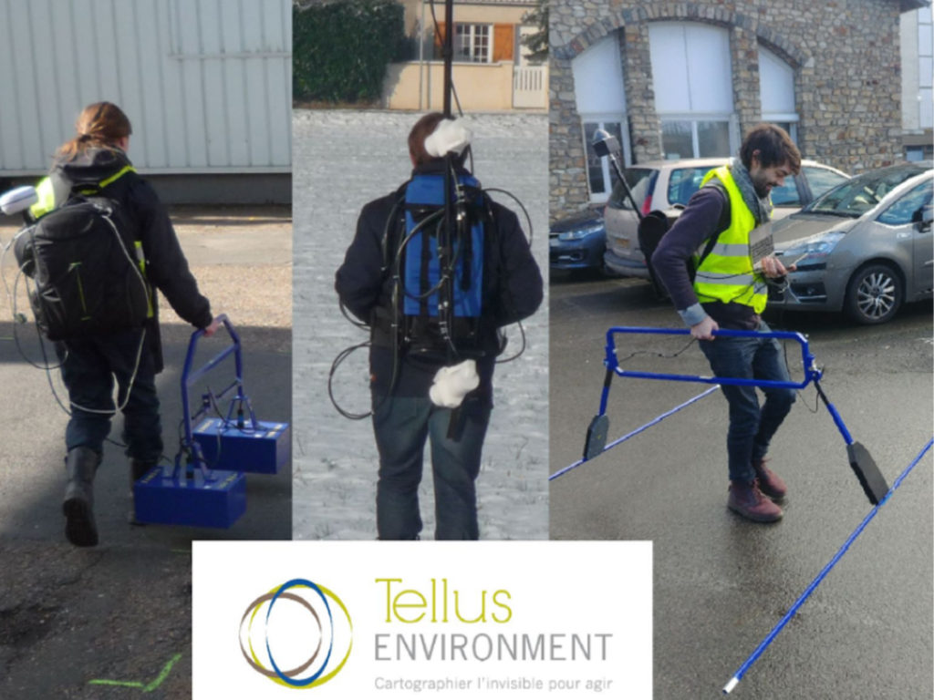
NEWS FROM THE SECTOR
TELLUS Environment’s innovative and productive geophysics to better control the technical and
financial risks of your developments (demolitions, constructions, foundations).
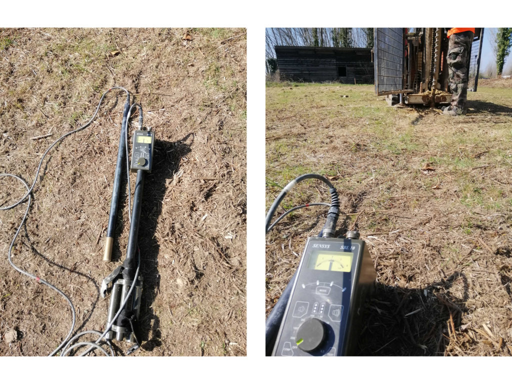
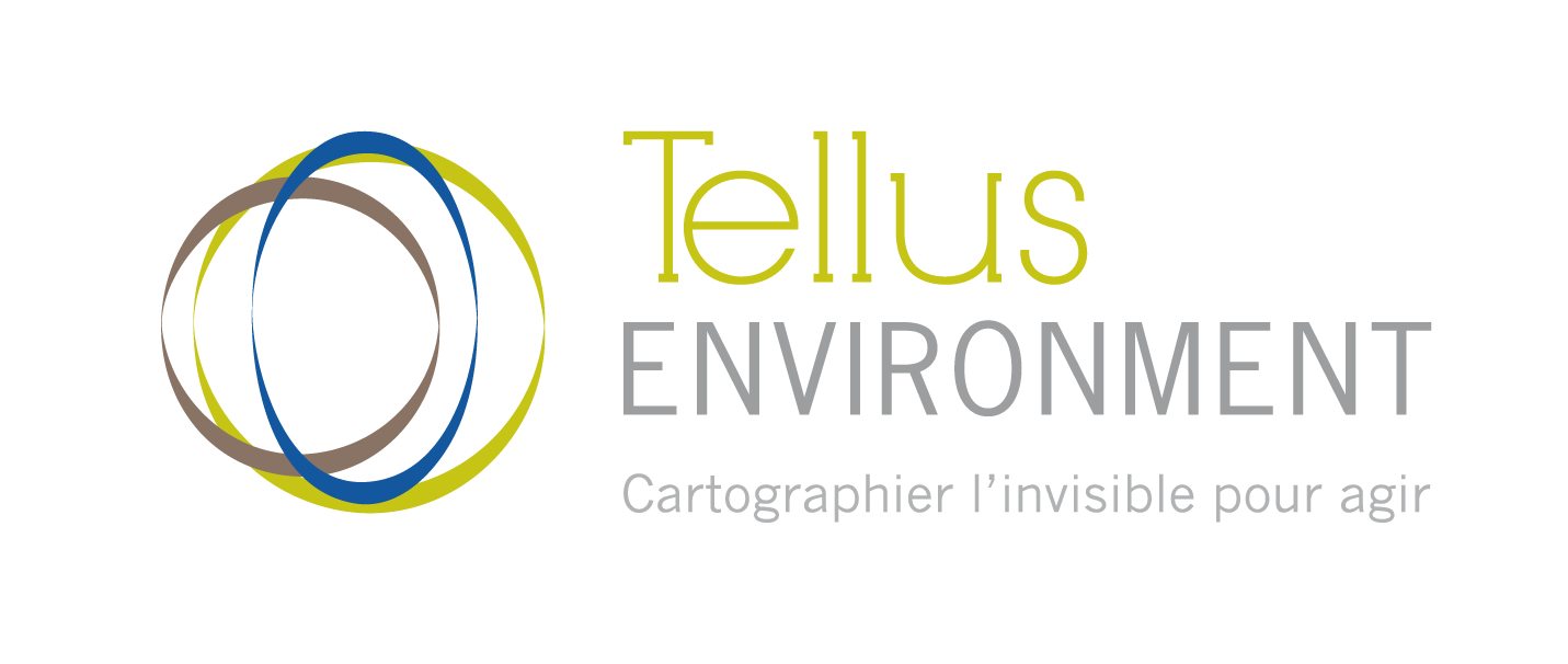
Pyrotechnical securing of drilling in Lorient
The purpose of a pyrotechnical survey is to identify, locate and analyse metallic objects in the ground or subsoil. We use our data processing to identify possible anomalies. They can be caused by ammunition, shells etc.
In the context of intrusive drilling security, it is a question of positioning at the front of the drilling a borehole probe which detects in real time the presence of suspect object.