To detect the invisible traces in subsoil (anomalies, faults …), Tellus Environment assists its customers in their exploration projects. Its innovative data-processing tools, proven equipment and team of multidisciplinary experts make increase chances of finding a deposit while reducing drilling expenses.
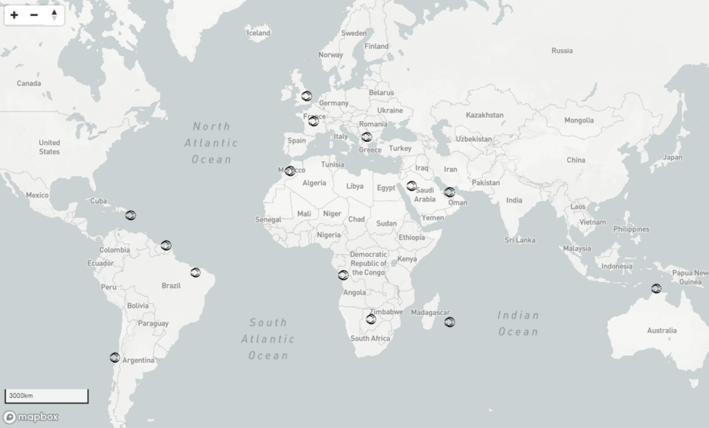
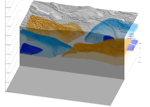
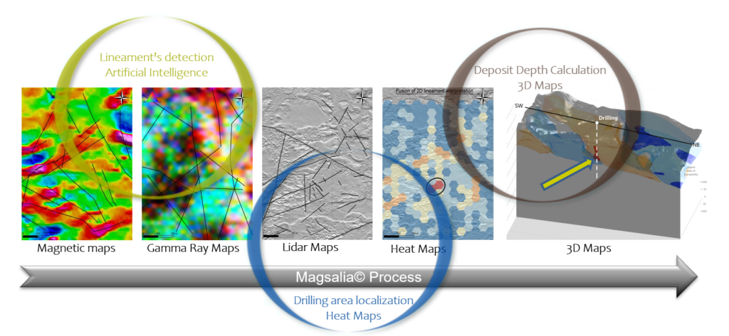
In order to support you in your mining exploration project, we help you by offering you 3D data processing tools to make the earth transparent. Our data processing solutions are compatible with all types of satellite, geophysical, lidar or multi-spectral surveys. To reach a quality result, we work with recognized data collection companies all over the world.
Our support team consists of geophysicists, data scientists who transform mission statement into a proposal force for exploration teams and service providers.
We have also developed complementary offers based on our expertise covering the entire process surveys from the choice of technologies and data collection to their interpretation (real-time data quality control, on-site calibration, flight plan advice, etc.).
Unlike other products on the market, you benefit from a synthesis of maps produced by geophysics, satellite, lidar and multispectral and also from the latest developments in our service. You do not have to learn how to use complex software. There is no need to purchase a licence or monthly subscription and payment is based on the volume of data to be processed.
We also rework old data to improve its quality and use it for a new project.