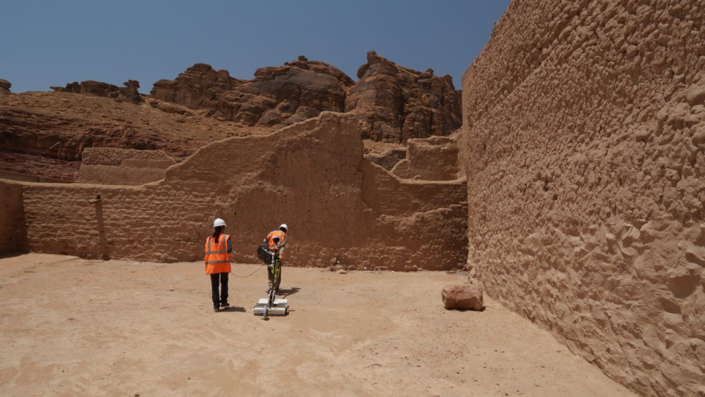
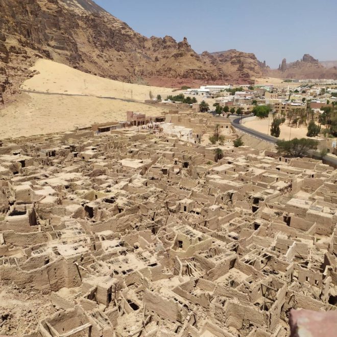
Within the framework of a development project, it is important to characterize the risks of the subsoil but also to identify its potential in France but also abroad. Geophysical and optical prospecting (Lidar, Thermal, Multipectral) is a means of providing, without altering the surface, images of the ground and subsoil for archaeological purposes.
With these material resources and experts, TELLUS Environment is mainly involved in preventive archaeology before any land use planning, on land or in the sea. This innovative visualization of the subsoil and seabed makes it possible to qualify and quantify the archaeological research that must be carried out afterwards.
TELLUS Environment offers soil and subsoil mapping to archaeologists who wish to guide their excavations with precision. TELLUS Environment’s own geophysics and data processing allow for a visualization by successive stripping of the terrain to be explored. Thanks to these technological innovations, TELLUS Environment provides valuable decision support to GIS (Geographic Information System) archaeologists. Geophysics is a complementary solution to random and costly archaeological intrusive surveys for the analysis and understanding of the subsurface.
Internationally, as well as in France, TELLUS Environment is recognized for its ability to be a force for proposals on new issues.
Nous utilisons des cookies pour vous garantir la meilleure expérience sur notre site web. Si vous continuez à utiliser ce site, nous supposerons que vous en êtes satisfait.